Log in
All resources
Create a design
53 Free Images of Old Maps Of The Arctic
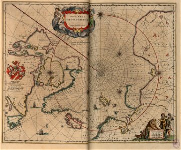
16th-century maps of the arctic
old maps of the arctic ocean
old maps of svalbard
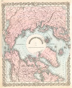
maps of the north pole
third voyage of willem barentsz
old maps of spitsbergen
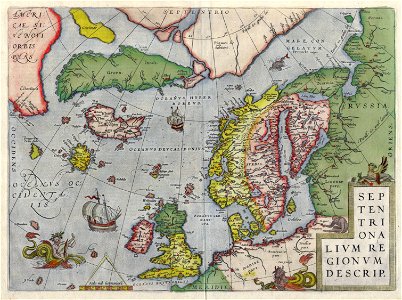
old maps of scandinavia
maps of novaya zemlya
dutch-language maps
cornelis claesz
third voyage of willem barentsz
16th-century maps of the arctic
third voyage of willem barentsz
16th-century maps of the arctic
third voyage of willem barentsz
history of dutch sea fisheries
third voyage of willem barentsz
history of dutch sea fisheries
the voyage of the vega round asia and europe
third voyage of willem barentsz
third voyage of willem barentsz
16th-century maps of the arctic
overwintering on nova zembla by willem barentsz, 1596-1597
maps in the rijksmuseum amsterdam
overwintering on nova zembla by willem barentsz, 1596-1597
maps in the rijksmuseum amsterdam
old maps of spitsbergen
old maps of the arctic
english-language maps
old maps of canada
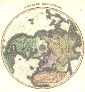
old maps of earth's hemispheres
english-language maps
old maps of the arctic
1872 maps
old maps of the arctic
1873 maps
old maps of greenland
old maps of iceland
illustrations from the english at the north pole by riou and montaut
old maps of the arctic
illustrations from the english at the north pole by riou and montaut
old maps of the arctic
old maps of the arctic
maps in literature
old maps of the arctic
1747 maps
copper engraving
1645 maps
historical images of arecaceae
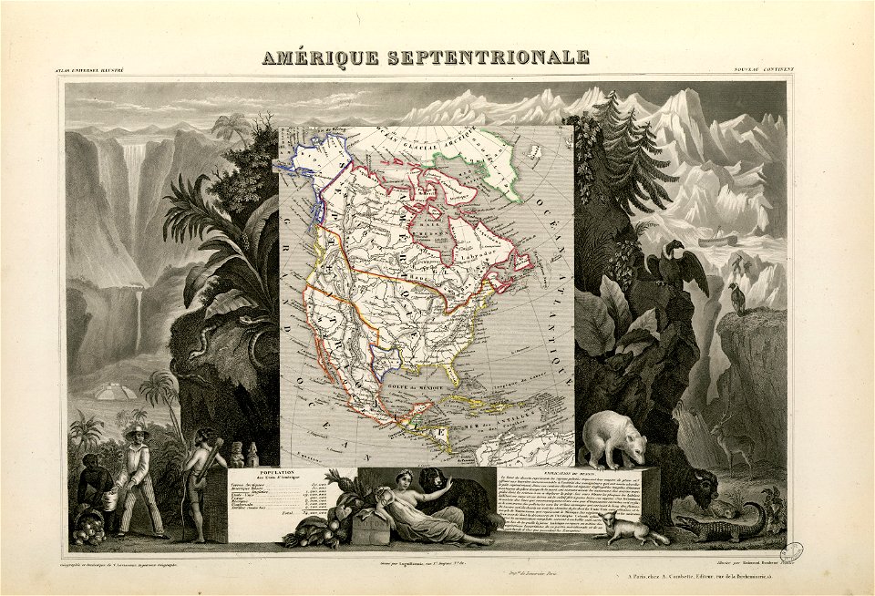
old maps of north america
old maps of the arctic
copper engraving
1853
54
old constellation maps
maps by samuel dunn
old maps of the arctic
maps by emanuel bowen
maps indicating exploration
royal geographical society
old maps of the arctic
1645
old maps of svalbard
old maps of iceland
maps by willem and johannes blaeu
old maps of the arctic
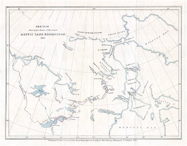
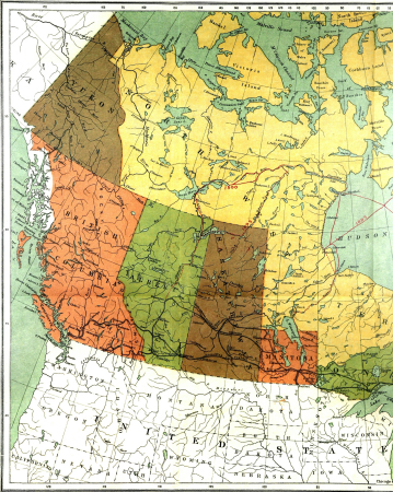
old maps of the canadian arctic region
victory expedition
maps by frederick william beechey
northwest passage
atlas maior, vol 1 (northern europe, norway, and denmark) - joan blaeu, 1667 - bl 114.h(star).1
1667 maps
old maps of the northern hemisphere
old maps of the arctic
our arctic province, alaska and the seal islands (1886)
old maps of alaska
lucas janszoon waghenaer
old maps of the arctic
our arctic province, alaska and the seal islands (1886)
old maps of alaska
nuevo atlas o teatro mundo
old maps of the arctic
our arctic province, alaska and the seal islands (1886)
old maps of alaska
our arctic province, alaska and the seal islands (1886)
old maps of alaska
maps by john cary
1806 maps of asia
old maps of the bering sea
old maps of kamchatka
across the sub-arctics of canada, a journey of 3,200 miles by canoe and snow shoe through the hudson bay region (1908)
old maps of canada
1849 maps of north america
old maps of canada
inventio fortunata. arctic exploration. (1881)
johannes ruysch
lucas janszoon waghenaer
old maps of the arctic
maps by john cary
1801 maps
1770s maps of alaska
robert de vaugondy
old maps of the russian empire
1790s maps of alaska
across the sub-arctics of canada, a journey of 3,200 miles by canoe and snow shoe through the hudson bay region (1908)
arthur heming
18th-century maps of greenland
old maps of the arctic
old maps of the western hemisphere
jacob van meurs
maps by daniel lizars
1820 maps of asia
géographie générale; physique, politique et économique (1876)
old maps of the arctic
l'expédition du tegetthoff (1878)
old maps of the arctic ocean
1 - 53 of 53
/ 1